We hiked this section on October 17, 2011.
Started the day bright and early as the sun came up on the Andy Layne Trail.
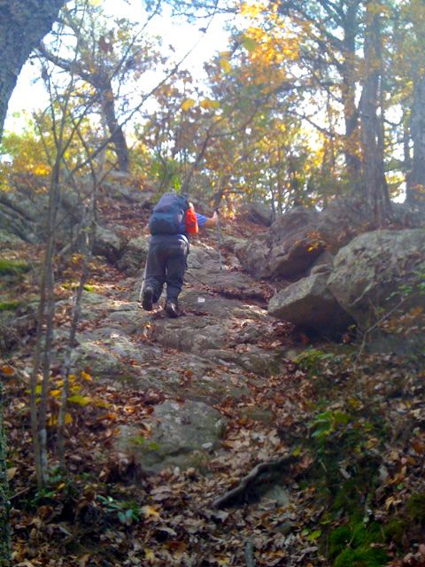
We started the ascent of the trail and thought it went straight up from the get go, but were surprised that it leveled out and we went through some open areas.
We stopped to peel off a layer and heard some commotion in the woods near us and saw something jumping near a tree. We think it might have been cubs but not totally sure.
We went over a couple of stiles and then over Little Catawba Creek and Catawba Creek on bridges.
We started the ascent and came to a fence that said Keep Out so we went around it and followed an old creek bed until we figured out about 15 minutes later we had not seen a yellow blaze in awhile. We stopped and looked around and just then we spied bears. There was a mamma bear and we believe 3 cubs.
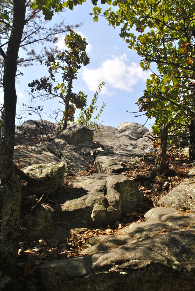
We went back to the fence that said Keep out and figured out we had gone the wrong way. Once on the right path, we started the steep ascent. At one point it seemed like a 45 degree angle. We started the final push to the top with many strenuous switch backs.
We reached Scorched Earth Gap and the sign said the trail was 3.1 miles.
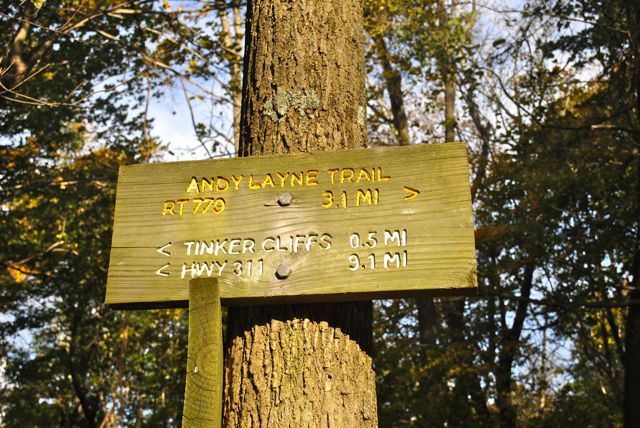
We thought it 2.3. More miles we can’t count.
We ascended to the Lambert’s Meadow shelter and took a long break.
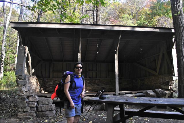
Lambert’s Meadow shelter
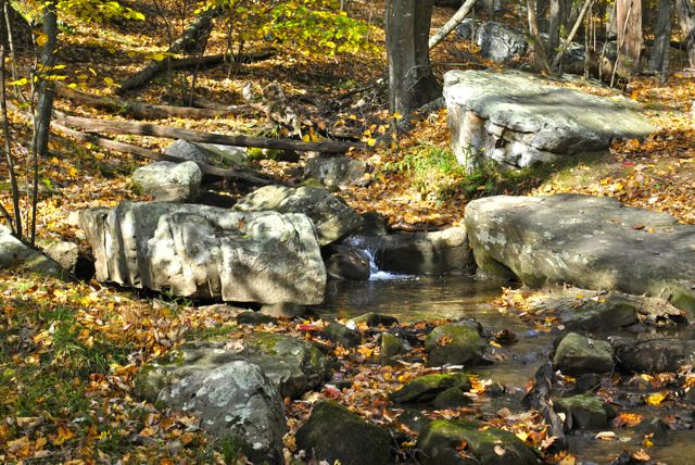
We crossed a stream and came to Lamberts Meadow and primitive camping. There was a nice picnic table there and a beautiful stream with some small waterfalls.
We ascended to Tinker Ridge and had many views of the mountains to the east and north and the communities below.
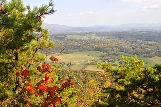
To the left on the ridge were views of Carvin’s Cove Reservoir and Brushy Mountain.
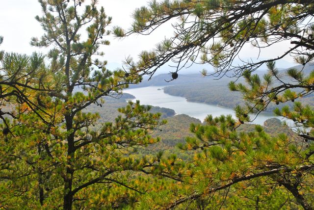
Carvin’s Cove
We passed under a power line and reached Ruckers Knob. At Angels Gap our feet were really starting to scream and we came to some power lines and took a break for lunch. Our tired feet were happy for the break.
We met a very nice day hiker during lunch who was out for a leisurely 21 mile hike! He said that his wife was going to pick him up after 8 hours and then take him to Leonardos in Finncastle for pizza – he claimed it was the best pizza in this area.
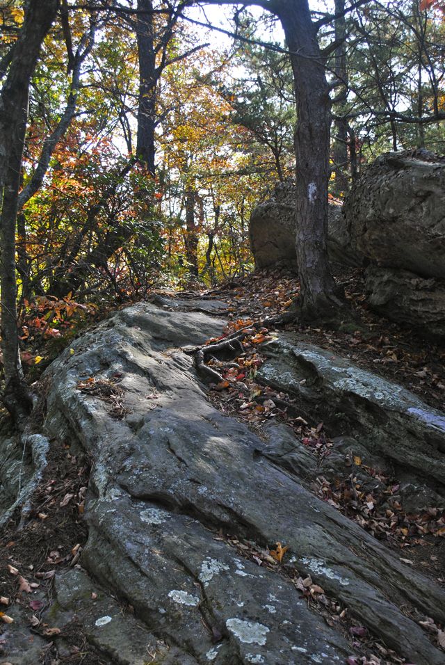
We passed Chimney Rocks and Balance Rock and then Hay Rocks.
The rocks had all kind of graffiti on them, and we followed the ridge for a while longer.
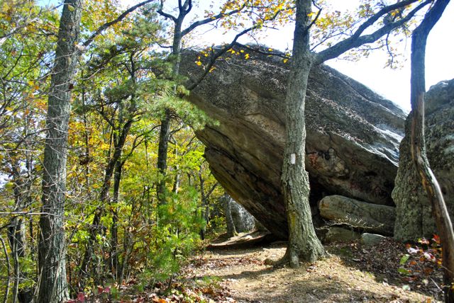
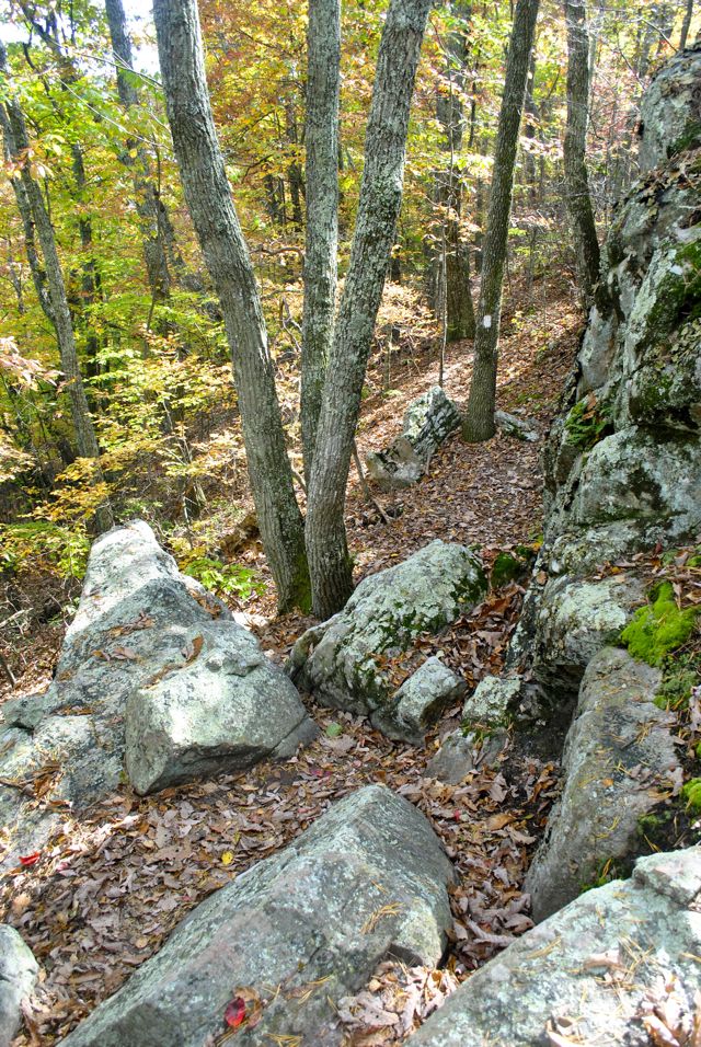
Near Hay Rock
We passed another power line and kept seeing Daleville below, but it looked a long ways away. We started the long descent on toe pounding switchbacks.
We passed over a bridge for Tinker Creek and along encountered a black German Shepherd, but she had no interest in us.
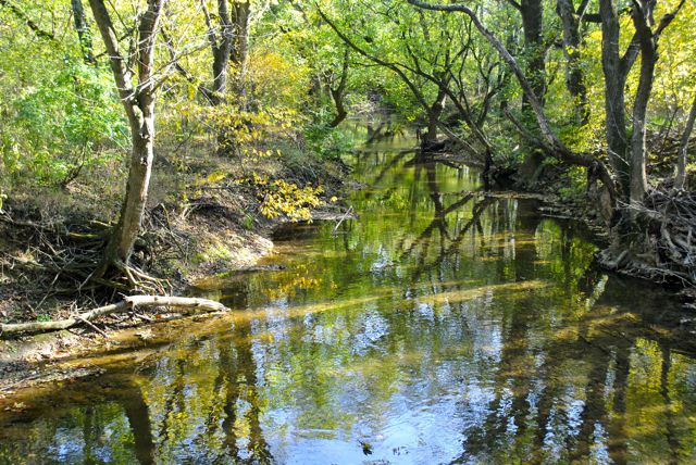
Tinker Creek
We were hearing the road and finally came out of the woods across the road from Pizza Hut in Daleville.