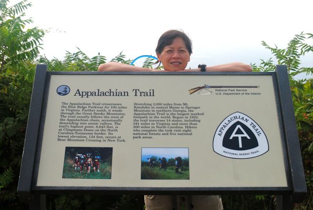
We hiked this section on September 3, 2011.
As we drove to Bearwallow Gap, we saw lots of pickup trucks with dogs in cages along the road. According to the lady at the visitor center, the hunters are not suppose to release their dogs at this time. Apparently, the hunters were just training their dogs today.
We met our shuttle driver Del and his dog Tea Cup at Bearwallow Gap at 9:30 AM (30 minutes early). Del claims that Tea Cup is a pure miniature Doberman Pinscher but based upon his personality and his bulging eyes, we think he was part Chihuahua.
As Del drove us to the trail head, he pointed out where the AT crossed the Blue Ridge Parkway (BRP). Tea Cup jumped all throughout the car during the ride while alternating between eating his food and barking at us.
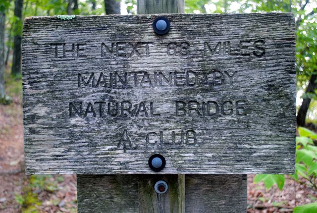
The Natural Bridge Appalachian Trail Club (NBATC) starts their maintenance of the trail at Black Horse Gap and it continues north to the Tye River.
The elevation profile for this hike is pretty flat so we knew it would be an easy hike. We were both glad about this because we had gotten into town late last night and Python was still recovering from being sick and a torn muscle.
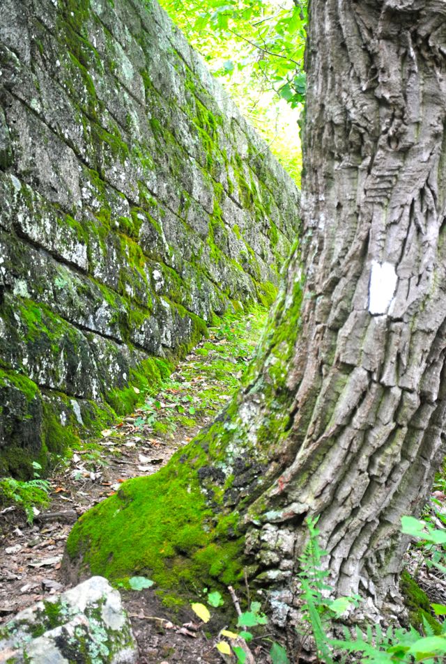
We passed a place where the Parkway was just above us and a beautifully built, we assume by the CCC, stone wall.
We came to Montvale and Harveys Knob overlooks but all we could see was haze! One nice lady who was bicycling the parkway offered to take our picture, but we said no because we didn’t want her to dismount from her bike – these are some serious hills! When the sun came out, it felt like we were in an oven! The thermometer said it was 81 degrees but it felt much hotter than that.
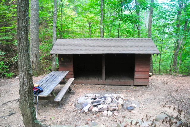
We stopped for a nice break at the Bobblets Gap shelter and admired the brand new privy (especially the locking system). The spring was basically a small puddle with lots of leaves.
At Harvey’s Knob Overlook, we saw several hawk watchers sitting in chairs. They said hello and asked if we needed any water.
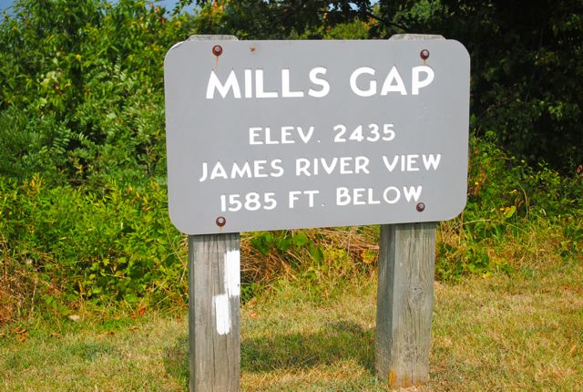
At Mill’s Gap the trail use to parallel the parkway on the east side but a re-route takes you across the Parkway again and goes west for a bit and loops back into Route 43. Because of the re-route, we hiked more miles today than we thought we would.
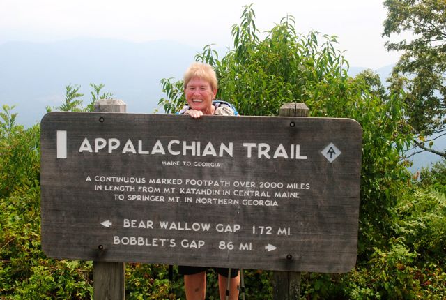
The descent into Bearwallow Gap was nice and gentle. We saw two section hikers sitting on the footbridge working on their feet. There was several water jugs just beyond the bridge. The hikers told us there was plenty of water if we needed any. We crossed VA 43 and walked to the car.
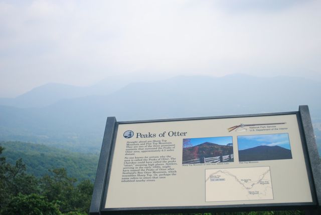
We then drove to the Peaks of Otter and had lunch at the lodge. We had a beautiful hazy view of Sharp Top Mountain. It started to rain during lunch, but it didn’t last long.
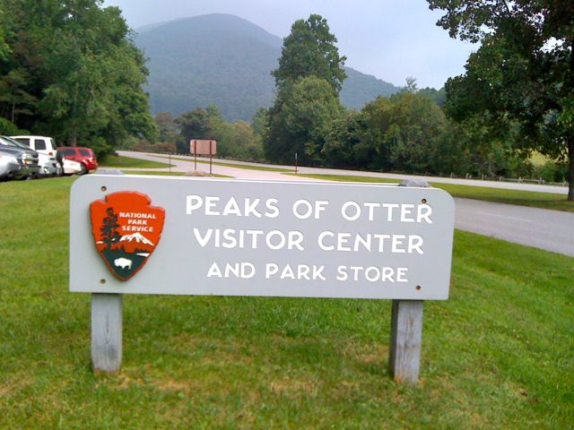
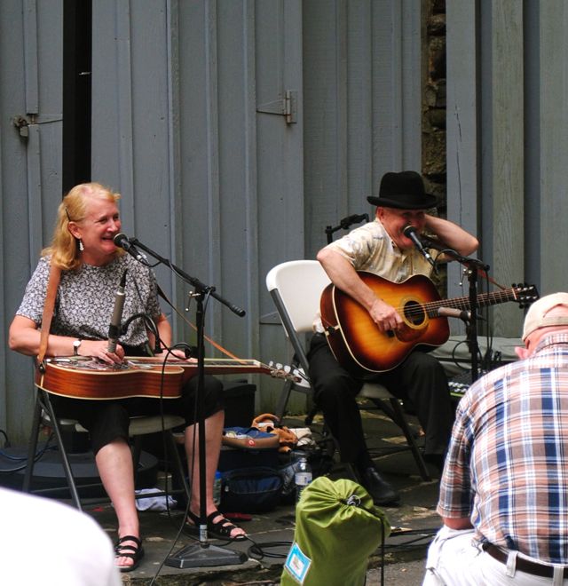
We went to the Vistor’s center after lunch to get our passport stamp and there was a lady & man playing Appalachian Music at the center so we stayed and watched for a few sets.