We hiked this section on July 2, 2011.
We met our group around 7:30 am in front of the King Center. We did not know that this was a key exchange hike. Our group was split into two – northbound and southbound.

Meeting place for hikes
The group hiking south was headed by the Hike Nazi from SATC. She declared that if you can’t hike at least 2 mph, then don’t even think about joining her group. She was very bossy and not welcoming.
The group hiking north was headed by two members of the NBATC – Anne and Bruce. Once we heard “NBATC”, we jumped into their group because we knew they would be wonderful hike leaders.
So, we drove the Hike Nazi’s car to Massie Gap. After Anne gave us a description of the trail and handed out trail maps, we started hiking at 9:50 am.

We started out on the blue blaze trail which was completely exposed and the sun was very intense. We quickly reached the AT while a group on horses passed us.

The trail in this section is very rocky and the vegation looks very dry and raw.
Unfortunately, we did not see any wild ponies. We also encountered another group doing a 15 mile hike (pretty tough with temps in the mid 90’s).
Once we got under tree cover, the temperature was very comfortable and there was a slight breeze most of the day. We passed through a few gates that keep the ponies where they are suppose to be. We passed over Quebec Ridge and crossed Big Wilson Creek.
We stopped at the Wise shelter for a break after hiking about 1 hour.

Thomas Wise Shelter
At this point the group was still staying together. After this though Hank decided to go out in front of the hiker leader Bruce – very bad trail manners in our opinion!
As we were hiking we were in the middle of the pack and saw the group ahead of us but the AT turned to the right. The group in front was following the Scales Trail, which is a horse trail. We yelled to them and all got back on track.
On our way up Stone Mountain we met the south bound group and exchanged keys. For some reason, we decided to give the drivers money for gas on the trail. The south bound hikers were making good time and marching closely in formation.
We stopped for lunch at Stone Mountain under a big tree which offered lots of shade. Everyone appreciated the nice long break and getting to know the other hikers.

Shady lunch spot

Looking at the Scales
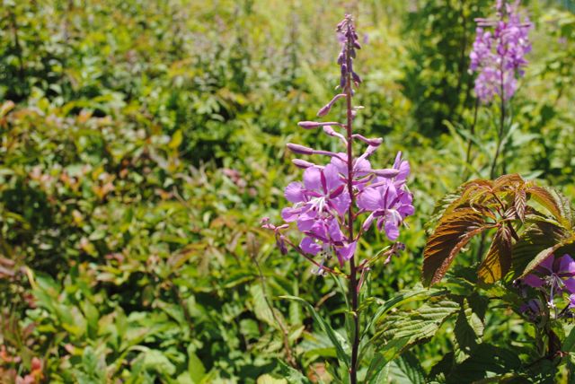
We descended into the Scales and were again exposed to the sun. The Scales has a nice fenced camping area with a privy and an area for horses. We saw pretty purple flowers that Sharon thought were floux.
There was a group of riders there,one trying to get her horse to behave.
The next break point was Pine Mountain. We were suppose to meet at the summit but when we got there no one else was there so we kept hiking. We met the group further on down the trail – in a much cooler spot. We waited for Anne and Sally before heading out again.
From this point on, the trail was all down hill but wasn’t too tough on the knees – just a little tough on the toes.
We stopped briefly at the Old Orchard shelter and to our surprise Hank was there. The rest of the hike was on gentle path and a gradual downhill.
We reached the trail head after hiking 6 hours 34 minutes. We then just had to wait for Sally and Anne. Both of these women were slow hikers but they hiked their hike. They called themselves slow and Anne’s trail name is Virginia Creeper.
When Bruce saw Sally he said “looking good Sally!” – what a class act.