We hiked this section on August 13, 2011.
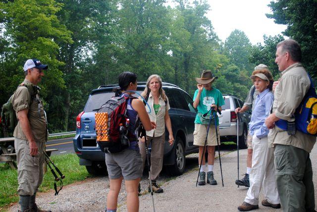
We had the pleasure of hiking with the Rockbridge Community Hikers. The hike leaders where Ken and Natalie. The other hikers were Bob & Christine (husband & wife), Audrey Ann & Charles (husband & wife), and Mike.
We met at the old Kmart parking lot in Lexington at 8 am and then took 3 cars to the trail head at FS39. We left 2 cars at FS39 and then everyone crammed into Natalie’s SUV for the ride to Long Mountain Wayside. Natalie warned everyone about ticks and then sprayed everyone’s boots with DEET. Unfortunately, both Natalie and Audrey Ann had gotten Lyme disease before.
We started hiking around 9:30 am. The sky was overcast and the temperature was cool. The trail today was gentle and soft under foot.
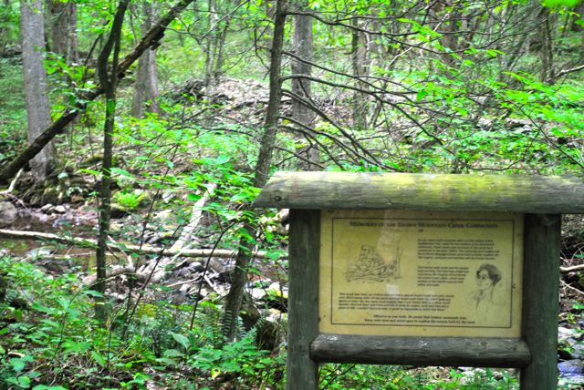
We took a short break at a sign which described the community that used to live in these hills.
Ken owns the Brierly Hill B&B in Lexington and offers services for hikers.
Audrey Ann and Charles own a farm which has 3 goats, 2 horses, 3 dogs, and a cat. They definitely know a lot about farm animals and were very sweet. We learned that a neutered male goat is called a wether and that goats make great companion animals for other animals such as a horse.
Bob and Christine met overseas while both of them were serving our country – he was in the air force and she was a teacher for the department of state.
Mike thru-hiked the AT in 1996 and was a wealth of knowledge throughout the hike.
Natalie told us that the group tries to plan at least one hike a month and always encourages members to suggest hikes (long and short to attract all kinds of hikers). She did a good job of making sure everyone felt welcome and was doing okay.
Within an hour we came to the Brown Mountain Creek shelter and took another break.
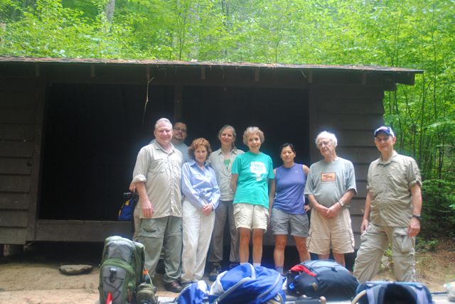
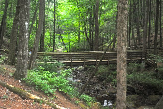
A couple of hunting dogs came running in but they were not interested in us at all. There is a relatively new privy behind the shelter and the shelter was in good shape. After the break, we crossed a beautiful bridge over the creek – everyone wondered how they were able to get the supplies for the bridge into this area.
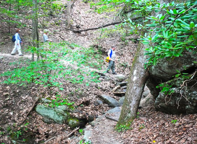
We had a couple of short climbs and then came to another forest road. The sign said that we were 3 miles from FS39. Ken waited for the entire group to catch up and then continued. It started to sprinkle for a few seconds and stopped as quickly as it started.
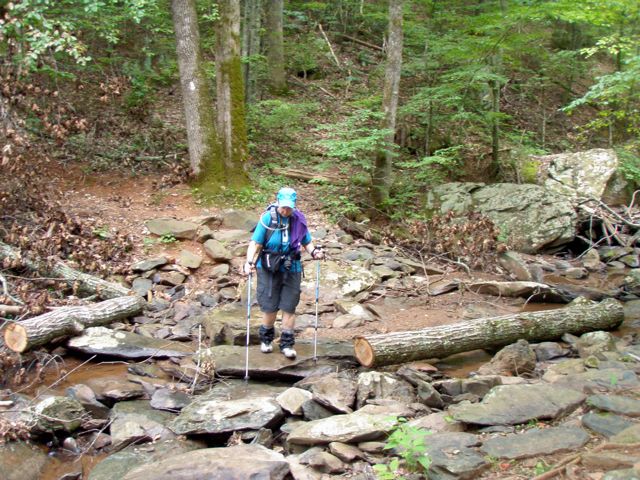
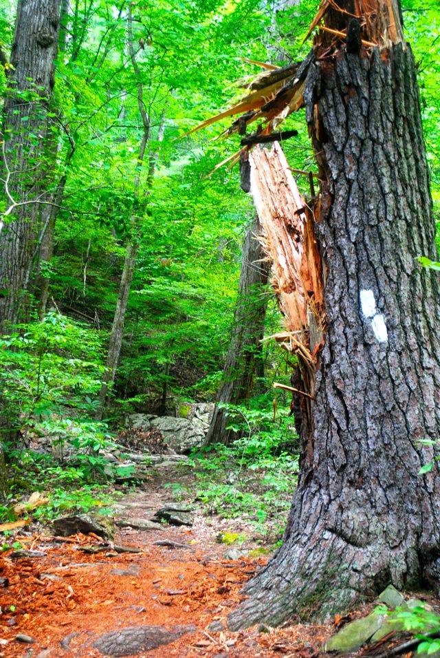
We crossed the road and then descended down several switch backs and then the trail leveled out again. We came across a huge tree with double white blazes that had been snapped in two.
We waited again for the everyone to catch up and then started to get worried. Then we saw Bob coming down the switchbacks – he told us that we could continue on to the car because the others needed to go slower.
Ken, Mike, Dirigo, and Python all agreed to wait for the other hikers to catch up instead of heading for the cars. So, we sat down to eat lunch and wait. Within 10 minutes, the other hikers had joined us. They had stopped for lunch before heading down the switchbacks. We noticed that Christine was now carrying someone else’s backpack; she and Bob would pass it back and forth the rest of the hike.
We had some more short climbs and the humidity and temperatures were definitely rising. At some point we could see the reservoir and hear, but not see, kids near the water.
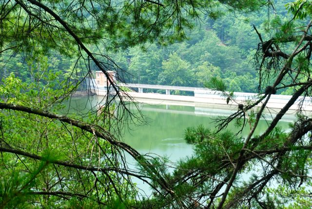
Pedlar Dam
We passed 3 groups of Boy scouts and most of the kids did not look happy.
Mike told us that the trail had been rerouted after 9/11. The trail use to go either over the dam or very close to it, but was now up off the water. Mike said the trail used to skirt the reservoir.
The descent into trail head was gradual so it was easy on the joints.
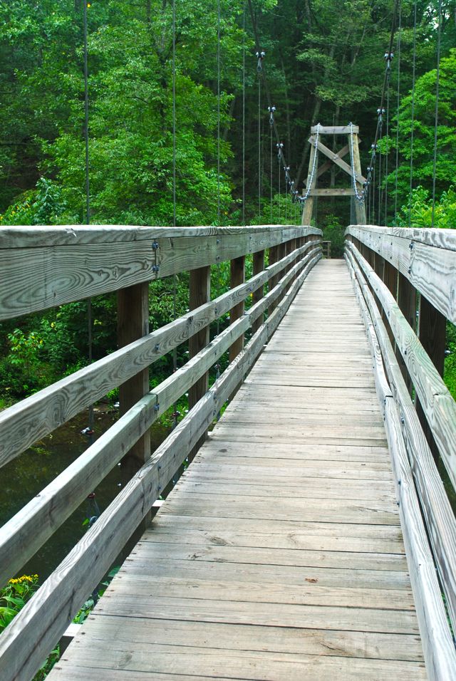
Everyone enjoyed walking on the suspension bridge and Python tried to get the bridge to sway. She did the bridge sway dance!