We hiked this section on September 4, 2011.
We met our shuttle driver Del and his dog Tea Cup at the James River parking lot just before 8 AM. Tea Cup was in a better mood today and spent most of his time on Del’s lap during the drive to the trail head. Maybe he was happier because he had chicken for breakfast but Python was not too thrilled smelling chicken farts; actually it reminded her of Zero.
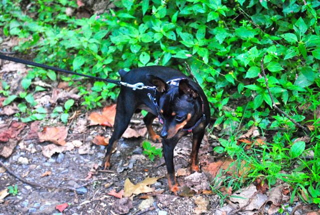
Tea Cup
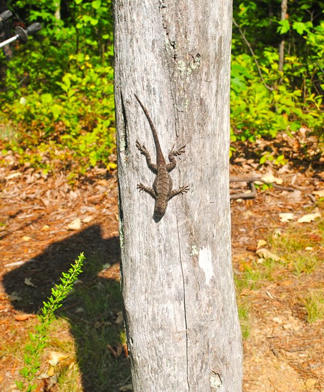
Del told us that the hike today would be a gradual downhill all day long. He also said that there might be thunderstorms starting at 3 PM this afternoon. We drove over a very narrow bridge that was the old AT – it would have been very dangerous to hike on it if there as a semi-truck coming. Dirigo also saw a dead snake on the side of the road on the Blue Ridge Parkway, she and Del agreed it looked like a Cooperhead.
We started hiking around 8:30 and spent the first 30 minutes ascending to Highcock Knob.
After a mile, we then started descending to Marble Spring on very rocky and steep terrain. What the heck? The trail book said it was a gradual descent? At this point, Python took 3 Advil because her knees were starting to ache. Fortunately, this didn’t last long and we eventually we landed on level ground.
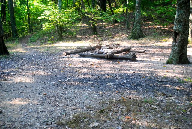
We came to a campsite and took a very short break. The trail seemed to circle around the mountains instead of going straight up so we were happy. There were a few places we could see a town and the river, but we knew we had a long ways to go.
The trail curves to the right and then sharply to the left and we begin an ascent as it makes a pass around Lover’s Retreat.
The rest of the hike was gradually downhill until we had to climb to the intersection of the Belfast Trail. The sign said something about Devil’s Marbleyard and we looked on the map to see if it was close, but it was actually miles away. The marbleyard is 8 acres of Quartzite, and would have been cool to check out, but not on the AT, so we will by-pass. The forest in this section was more like an alpine environment and there was lots of shale beneath our feet.
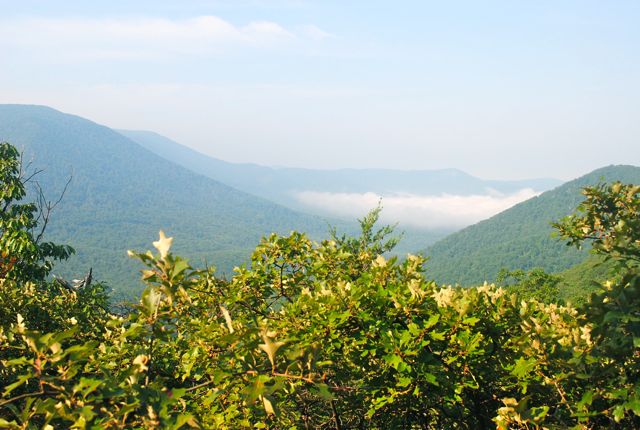
We truly enjoyed this hike because of the lovely views of the mountains and the gentle trail. We started the day with fog in the valley and once we were up in the mountains, the fog and clouds were below us and settled into the valley. It was rather cool to see.
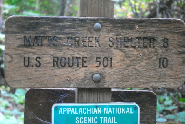
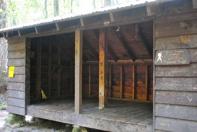
The descent into Matts Creek shelter was via a series of switchbacks and our feet were aching once we reached the creek. The old trail came down on what looked like an old foot bridge but it seems that the bridge had been washed away, but the old buttress for the bridge was still standing. The new trail went over the creek on some wet rocks. There is a sign on the shelter stating, flash flood area. We took a nice long break and had some food.
It looked like the old AT went up the path called Matts Creek Trail and ascended several hundred feet before descending into 501. The current AT follows Matts Creek to the James River and is very flat. We followed the river for about a mile and saw some turtles sunning themselves on some logs.
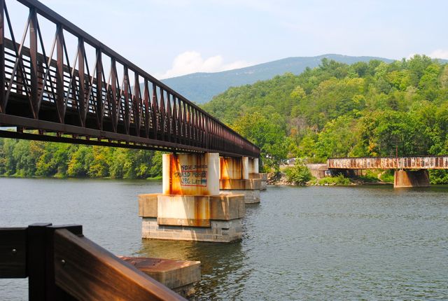
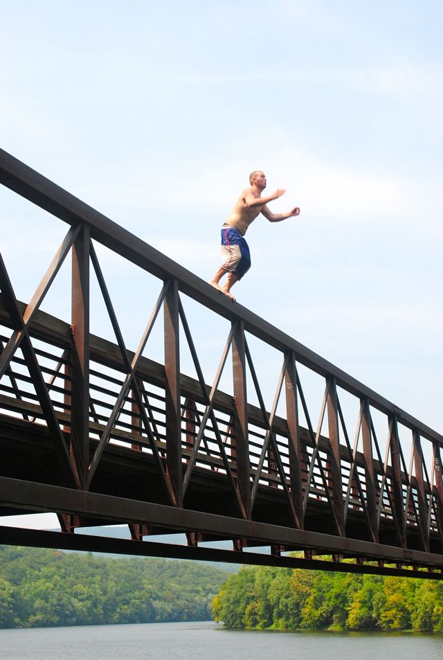
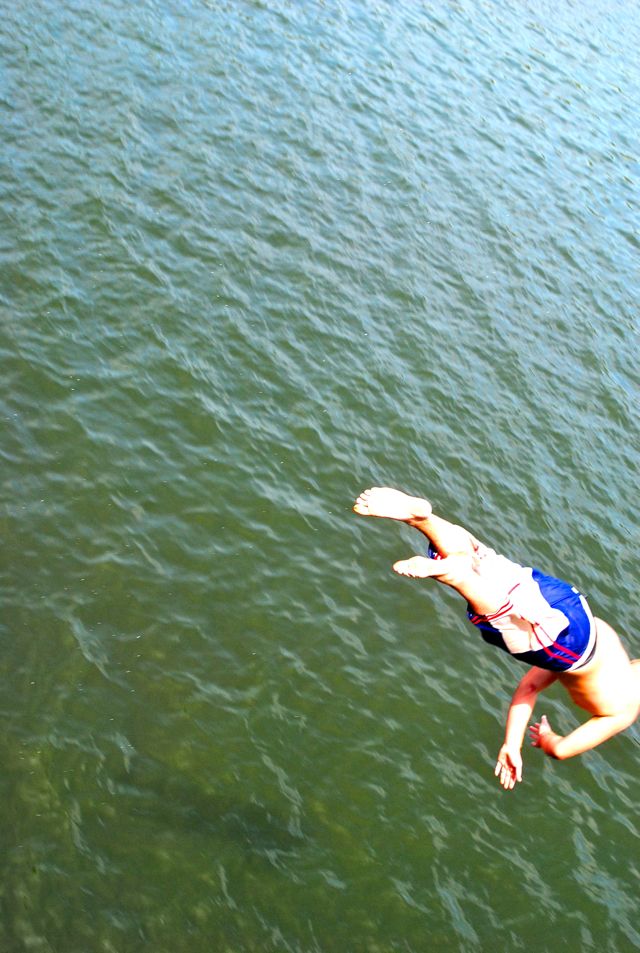
We reached the footbridge around 1:30 PM and saw a group of wet young men jumping from the bridge. The guys would climb to the top of the rails before jumping off. We looked down from the bridge and it was really high up! No thanks, we’ll just watch.